Understanding 2026 Cape Cod Flood Map Changes: A Lower Cape Buyer & Seller Guide
Why Flood Maps Matter on the Lower Cape
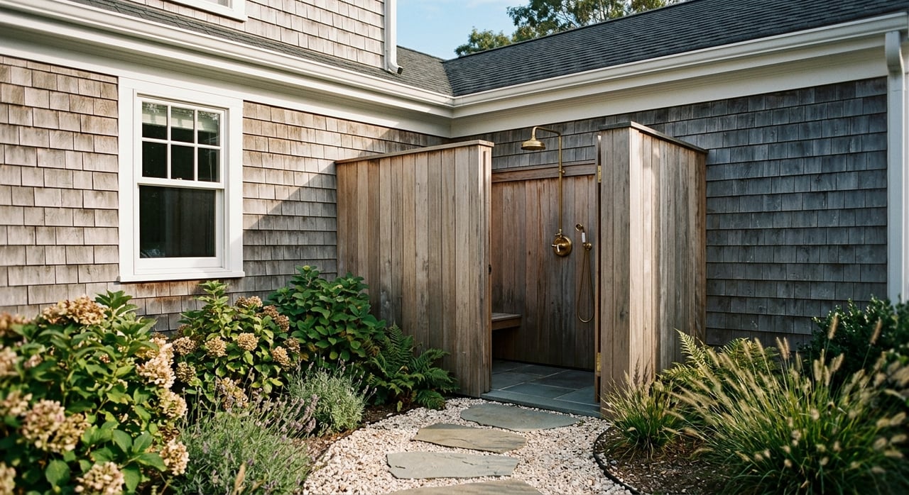
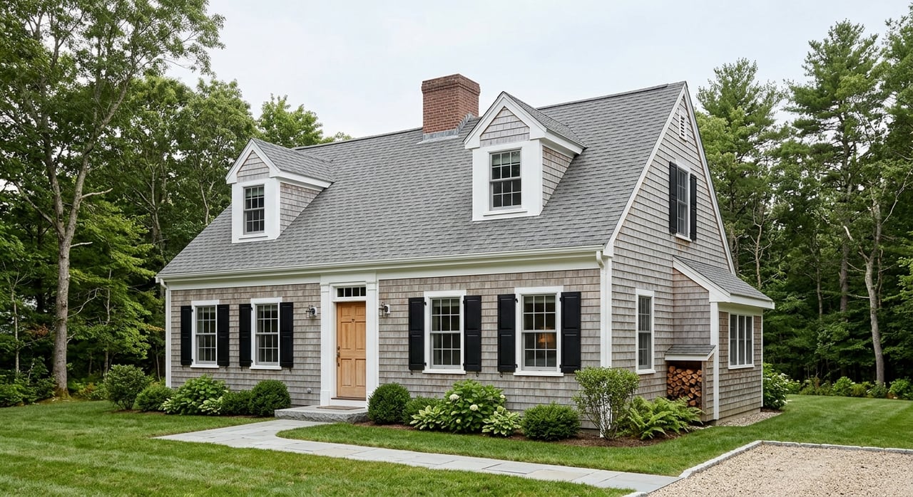
On the Lower Cape—Brewster, Orleans, Harwich, Chatham, and nearby towns—waterfront and waterview properties are a huge part of the market. But being near the water also means paying attention to flood zones and coastal risk.
Your FEMA flood zone can affect:
- Your mortgage approval and lender requirements
- Whether you’re required to carry flood insurance
- Your annual insurance costs
- How some buyers view the property’s long‑term risk
Understanding map changes in 2026 helps you make smarter decisions—whether you’re buying your first Cape home, adding a vacation property, or timing the sale of a long‑owned house.
What Is a FEMA Flood Map?
A FEMA Flood Insurance Rate Map (FIRM) shows areas with different levels of flood risk. On Cape Cod, you’ll often see zones such as:
- Zone AE: Higher‑risk coastal or river flood areas
- Zone VE: High‑risk coastal areas with wave action
- Zone X (or shaded X): Moderate or lower‑risk areas
Your zone is based on elevation, proximity to water, and historical data. Lenders use these maps to decide whether they’ll require flood insurance for a mortgage.
What’s Changing in 2026?
FEMA and local communities periodically update flood maps to reflect new data, coastal changes, and evolving models. In 2026, that can mean:
- Some properties are moving into a higher‑risk zone
- Some properties are moving into a lower‑risk or non‑mandatory zone
- Adjusted Base Flood Elevations (BFEs) that affect building and renovation plans
Even small changes on paper can translate into real‑world cost differences for insurance and long‑term ownership.
Areas Most Likely to See Reclassification
While specifics depend on the latest official maps, properties that are closest to the shoreline, marshes, or tidal inlets are the most likely to:
- Move into an AE or VE designation
- Experience changes in required finished‑floor elevations for new construction or major renovations
If you’re considering a home near Nauset Beach, Pleasant Bay, Rock Harbor, or along marshfront in Orleans, Brewster, Harwich, or Chatham, it’s especially important to know your current and projected flood zone.
How Flood Zones Affect Buying on the Lower Cape
Flood maps don’t mean “don’t buy.” They mean “buy with eyes open.”
Key considerations for buyers:
- Total monthly cost: Principal, interest, taxes, homeowners' insurance, and flood insurance
- Insurability: Can you obtain coverage at a cost that fits your long‑term budget?
- Resale: How might future buyers feel about the flood zone and insurance premiums?
- Improvements: If you plan to renovate or expand, what does the flood zone mean for permits and elevation requirements?
Town‑Level Nuances (Orleans, Brewster, Harwich, Chatham & Beyond)
Each Lower Cape town balances beautiful shorelines with unique coastal dynamics:
- Orleans: Ocean‑side and bay‑side areas can have very different risk profiles.
- Brewster: Bayfront and low‑lying areas near tidal flats may see different classifications than inland neighborhoods.
- Harwich & Chatham: Properties near harbors, rivers, and inlets may have more complex zones—and sometimes higher insurance needs.
A knowledgeable local agent can help you interpret flood information in context with the entire property—location, elevation, condition, and lifestyle goals.
What Sellers Need to Know About Flood Maps
If you’re thinking about selling in 2026, flood maps are part of the story—not the whole story.
Important steps for sellers:
- Know your current zone. Don’t guess. Pull the official data and keep it on hand.
- Have insurance details ready. Buyers will ask what you pay (even though their premium may differ).
- Highlight mitigation steps. Elevation certificates, flood vents, updated systems, and any resiliency improvements are positives.
- Price realistically. If the property is in a higher‑risk zone, pricing and marketing should reflect both its appeal and its practical realities.
Handled well, transparency around flood risk builds trust and helps serious buyers move forward confidently.
Insurance Basics – Flood, Homeowners & Coastal Risk
A few big picture points for Lower Cape buyers and sellers:
- Homeowners insurance typically does not cover flood damage.
- Lenders may require separate flood insurance for homes in certain zones.
- Premiums can vary widely based on elevation, distance from water, construction type, and mitigation measures.
- Coastal properties may also face wind or hurricane‑related coverage requirements, separate from flood.
Because carrier guidelines and pricing change, always speak directly with a local insurance professional before making a final decision.
Practical Steps for Buyers & Sellers in 2026
Whether you’re buying or selling, here’s how to navigate 2026 map changes with confidence:
For Buyers:
- Check the property’s current and proposed flood zones
- Request or obtain an elevation certificate when appropriate
- Get insurance quotes early, before you fall in love with the home
- Factor total cost of ownership—not just the list price—into your decision
For Sellers:
- Gather flood‑related documentation (zone, elevation certificate if available, mitigation work)
- Be ready to discuss how you’ve lived in and maintained the home
- Work with your agent on pricing and marketing that address questions proactively
FAQs About Cape Cod Flood Maps
Do flood maps mean I shouldn’t buy near the water?
Not necessarily. Many Lower Cape buyers choose waterfront or waterview homes every year. The key is understanding your risk, insurance costs, and long‑term comfort level.
Can flood maps change again after 2026?
Yes. Flood maps are updated periodically. It’s smart to revisit your property’s status over time, especially if you’re planning a major renovation or a future sale.
Will my flood insurance automatically go up with a map change?
Not always. Insurance carriers and rules vary. Speak directly with your insurance agent and lender to understand how a map change impacts your specific policy and timeline.